Transforming Aerial Surveying with Dronescrafters
Transforming Aerial Surveying with Dronescrafters
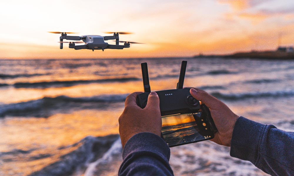
In today’s rapidly evolving technological landscape, precision and efficiency are paramount. Dronescrafters, a leading drone service company, stands at the forefront of this revolution, offering cutting-edge solutions for a wide array of industries. Specializing in aerial surveying, Dronescrafters harnesses the power of advanced drone technology to provide unparalleled services that redefine standards and push the boundaries of what’s possible.
Pioneering Precision with Advanced Drone Technology
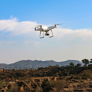
Dronescrafters leverages state-of-the-art drone technology to deliver high-resolution aerial data that is both accurate and detailed. This precision is critical in industries such as construction, agriculture, real estate, and environmental monitoring, where accurate data is essential for informed decision-making. Our drones are equipped with the latest sensors and imaging technology, ensuring that every project we undertake meets the highest standards of accuracy.
Versatility in Application
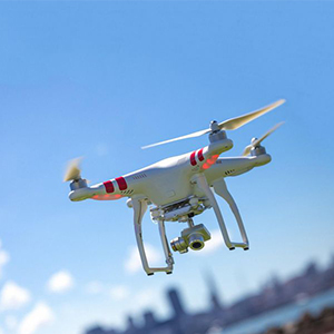
One of the key strengths of Dronescrafters is our versatility. Our services are tailored to meet the specific needs of a diverse clientele. In agriculture, our drones can survey vast tracts of farmland, providing farmers with detailed crop health analyses, which help optimize yields and reduce costs. In construction, our aerial surveys offer precise measurements and progress monitoring, improving project management and reducing delays.
Enhancing Efficiency and Safety
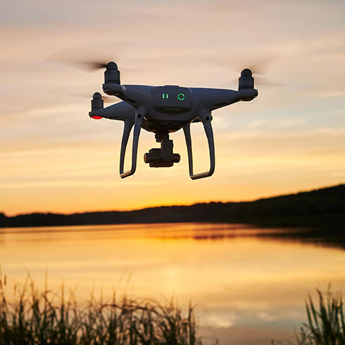
Traditional surveying methods can be time-consuming and sometimes hazardous. Dronescrafters’ drone-based solutions significantly reduce the time required to complete surveys and eliminate the risks associated with manual data collection. Our drones can access hard-to-reach areas and perform surveys in a fraction of the time, without compromising on safety or quality.
Comprehensive Data Analysis
At Dronescrafters, we believe that data is only as valuable as the insights it provides. Our team of experts not only collects high-quality aerial data but also performs comprehensive analyses to deliver actionable insights. Whether it’s topographical maps, 3D models, or thermal imaging, we provide our clients with the information they need to make strategic decisions and drive success.
Commitment to Innovation and Excellence
Innovation is at the heart of Dronescrafters. We continuously invest in the latest drone technologies and training for our team to ensure that we remain at the cutting edge of the industry. Our commitment to excellence is reflected in our stringent quality control processes and our dedication to customer satisfaction. We work closely with our clients to understand their unique requirements and deliver customized solutions that exceed their expectations.
Sustainable and Eco-Friendly Solutions
Dronescrafters is also committed to promoting sustainability. Our drone surveys have a minimal environmental footprint compared to traditional methods, which often require heavy machinery and significant land disruption. By choosing Dronescrafters, clients not only benefit from superior services but also contribute to environmental conservation efforts.
Conclusion
In a world where technology and efficiency are critical, Dronescrafters is your trusted partner for all aerial surveying needs. Our blend of advanced drone technology, expert analysis, and commitment to innovation ensures that we deliver exceptional results every time. Discover the future of aerial surveying with Dronescrafters, and let us help you elevate your projects to new heights.